
 Yahoo Finance
 Vancouver Island, South Coast warned to prepare for Sunday storm
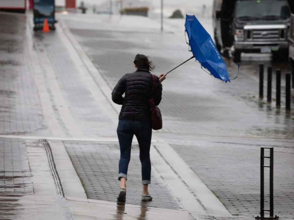
A storm is brewing for Vancouver Island and B.C.'s South Coast this weekend, prompting warnings from weather officials who are urging residents to be prepared.
Special weather statements are in effect for most of Vancouver Island, Metro Vancouver, the Sunshine Coast and Howe Sound, as a strong, rapidly deepening low pressure system from the Pacific moves in.
Strong southeasterly winds of 50 to 70 km/h gusting to 90 km/h are forecast to hit the island on Sunday afternoon, persisting through the night and into Monday morning.
Those winds are predicted to shift into Howe Sound and Metro Vancouver Monday Morning, potentially reaching speeds of 50 km/h with gusts of up to 80 km/h.
The winds are forecast to subside by Monday afternoon.
"Because the centre of the storm will end up 'stalling' out or sitting and spinning just off the coast of Vancouver Island — that's our biggest risk this time around," CBC meteorologist Johanna Wagstaffe said.
"Our major wind events of the past, the ones that have taken down a lot of trees — it's because of this kind of setup. We call these rapidly deepening low pressure systems 'weather bombs' as they undergo a process called bombogenesis. Basically deepening very quickly in a short amount of time."
Environment Canada is "moderately confident" the strongest winds will be over west and north Vancouver Island, and expects to issue weather warnings closer to the storm.
Wagstaffe said winds in those regions could reach 100 km/h.
"This storm definitely has the potential for widespread damage due to winds," she added.
Strong winds can down trees and power lines, which is why Emergency Management B.C. has created a checklist of things to do to prepare for the storm:
Clear gutters and drains to protect from flooding.
Create an emergency kit with non-perishable food, water and supplies to support your household for up to one week.
Store valuables and important items in water-tight containers or in high places.
Check in with neighbours that may require extra help.
Avoid creeks and rivers that are prone to flooding during heavy rain.
EMBC suggests checking the BC Hydro website for information about outages, and if they're not listed, call 1-800-BC-HYDRO to report it.
The province advises never driving through floodwater during periods of heavy rain and if a car does fill with water and begin to flood, abandon it and head for higher ground.
