
 Yahoo Finance
 Are storms Barra and Arwen linked to climate breakdown?
Where have these two storms come from?
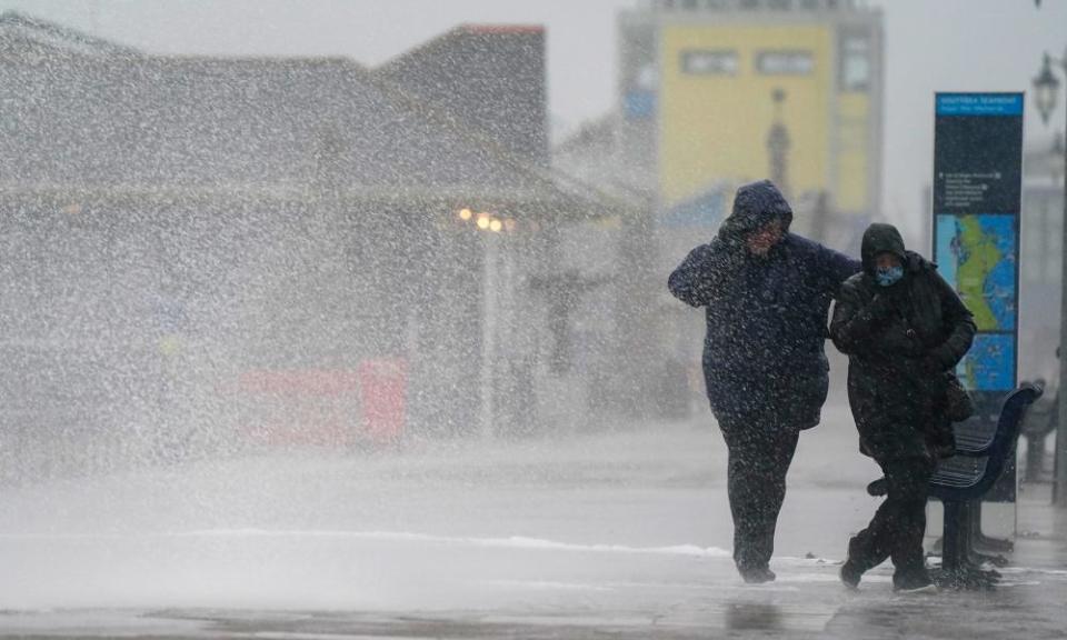
The UK is facing a second big storm, Storm Barra, while some homes in the north are still lacking power after the devastation of Storm Arwen just over a week ago.
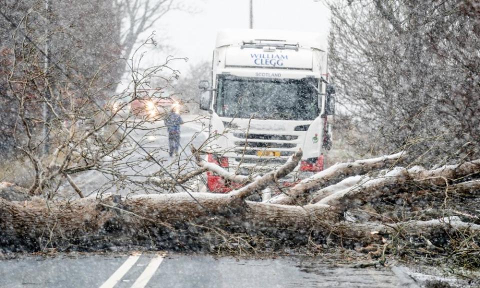
Both storms formed in the mid-Atlantic. Barra has followed a fairly typical course across into the Republic of Ireland. Arwen was more unusual, tracking up around the north of Scotland and then coming inland from the North Sea, hitting the eastern coast of Scotland and north-east England on 26 November. The unusual route may be one reason that it took down so many trees.
Are they particularly bad storms?
Storm Arwen brought wind gusts of up to 98mph, and was described by the Met Office, which gave a red warning, as one of “the most powerful and damaging winter storms of the latest decade”. This wind gust was the highest recorded in north-east England since 1984.
The aftermath has been devastating too: three people died; thousands of trees were blown over; and more than a million homes lost power as lines were brought down. Some households remain cut off.
Storm Barra hit the Republic of Ireland with wind speeds of up to 50-60mph, but speeds were increasing and predicted to rise as high as 80mph. Red warnings have been given in the counties of Cork, Kerry and Clare, and there are flood warnings in place in the south of England and snow warnings for Scotland. Thousands of homes have lost power in Ireland.
Barra has displayed what is technically known as “explosive cyclogenesis” or, more excitingly, been described as being a “weather bomb”. Brendan Jones, a meteorologist at the Metdesk, said: “It means the storm developed particularly rapidly over a 24-hour period, which is why we’ve been seeing 85mph winds in Ireland. But it has reached peak intensity now, and will begin slowly dissipating as it crosses the country during Wednesday.”
Is it usual to have two big storms so close together?
Jones says it is not that unusual. “If anything it’s very common to get named storms in close proximity; when you’ve got the disturbed weather pattern we’re currently seeing over the Atlantic, you can often see consecutive storms over a two- to three-week period.”
Can we link them to climate breakdown?
It is too early for these storms to be directly attributed to climate breakdown. However, scientists have long said the climate emergency will make extreme weather events more likely. The complexity of our weather systems make it hard to pin down one cause for any event. But it is known that, for example, much of Earth’s trapped heat goes into the oceans – and rising sea temperatures produce more energy for hurricanes and typhoons.
Carbon Brief, a UK-based website specialising in the science and policy of the climate emergency, analysed about 350 studies of “extreme event attribution”. It said the studies found 70% of the events and trends looked at were made more likely or more severe by human-caused global heating.
